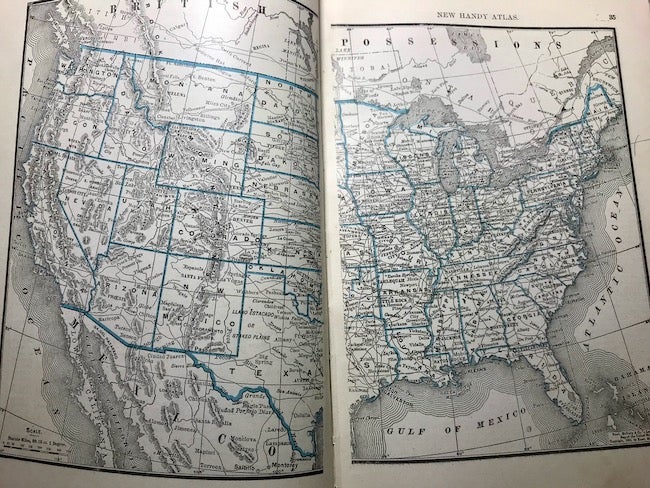
Rand, McNally & Co.'s New Handy Atlas Containing Colored Maps of the United States and the Dominion of Canada, Accompanied by Descriptive, Statistical, and Historical
Matter Pertaining to Each State, Territory, or Province, and Including Indexed Lists of All Cities, Towns, and Villages, With Population, 1890; Also Colored Skeleton Maps of the Continents, Showing All Countries of the World, and Colored Statistical Diagrams, Giving Data Concerning Area and Population, Products, Commerce, Finances, Etc. Chicago: Rand, McNally & Co., 1892.
Soft cover. Octavo. 380 pages. Illustrated. Brown cloth covered soft covers with faded gilt title on the front cover. Cloth is faded and worn on the spine and spotted and soiled on the back cover. The rear end sheets are also spotted, soiled. The foredge has light spotting. The internal contents are clean. The hinges are weak but holding. A fair copy. Fair. Item #24006
Price: $75.00