
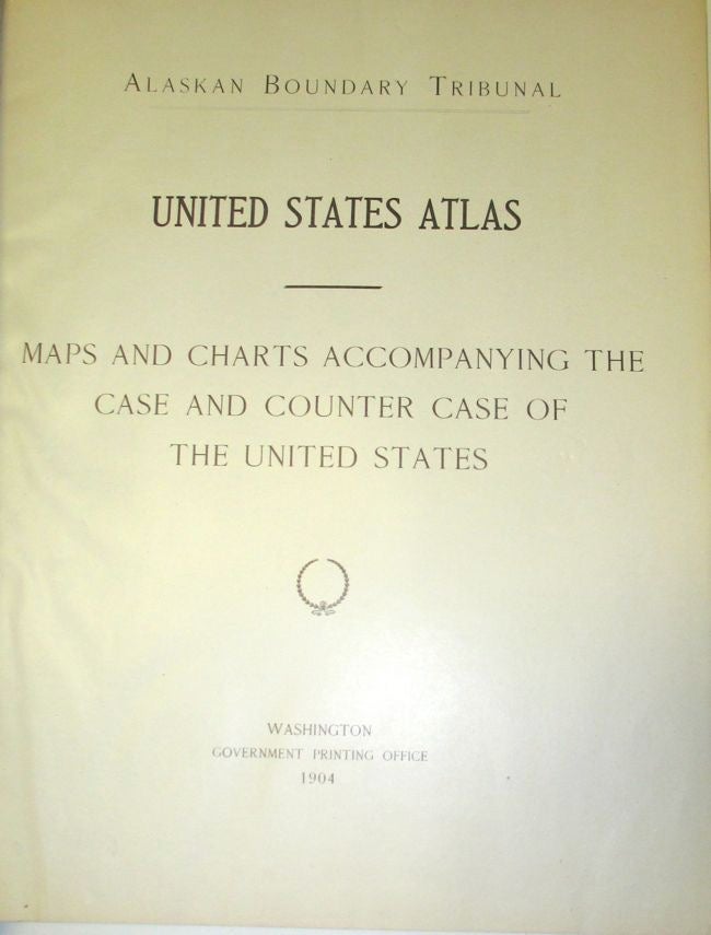
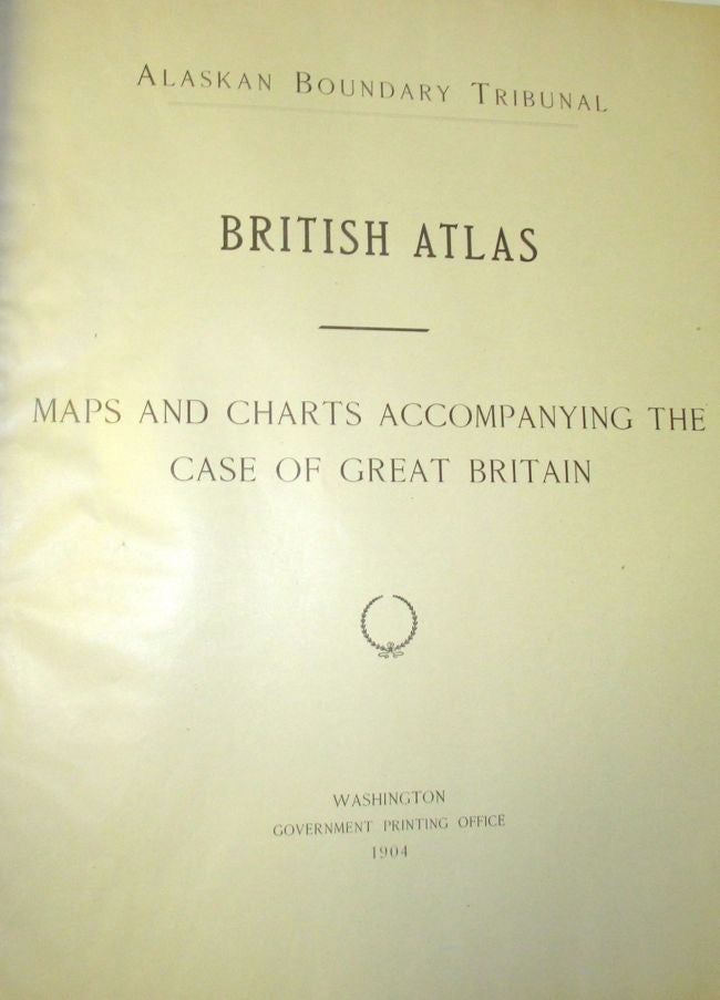
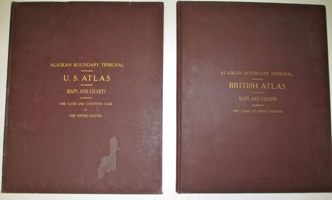
Alaska Boundary Tribunal. United States Atlas. Maps and Charts Accompanying the Case and Counter Case of the United States; Alaska Boundary Tribunal. British Atlas. Maps and Charts Accompanying the Case of Great Britain
Washington DC: Government Printing Office, 1904.
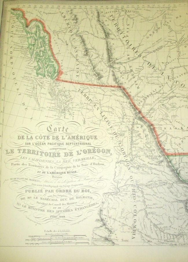
Hardcover. Two volumes. Elephant Folios. (Approx. 19.5" X 15") Brown cloth hardcovers with gilt titles on front boards. The U.S. Atlas has 47 maps. The British Atlas has 35 maps. The third volume, Atlas of Award (Tribunal Fixed lines) with 27 maps, is not present. The U.S. Atlas has a scuffed area on front cover. Light edge wear to cloth on British Atlas. Very good. Item #23386
Price: $800.00
See all items by Alaska