
Colton's 1861 Pocket Map of South Carolina
New York: J. H. Colton, 1861.
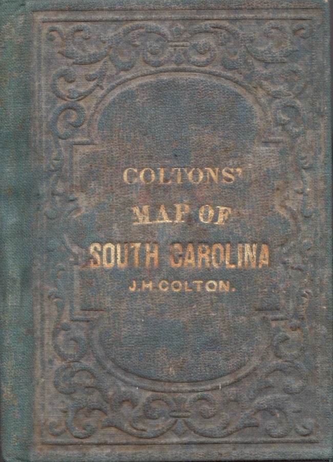
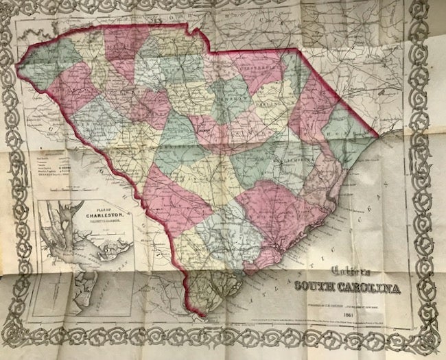
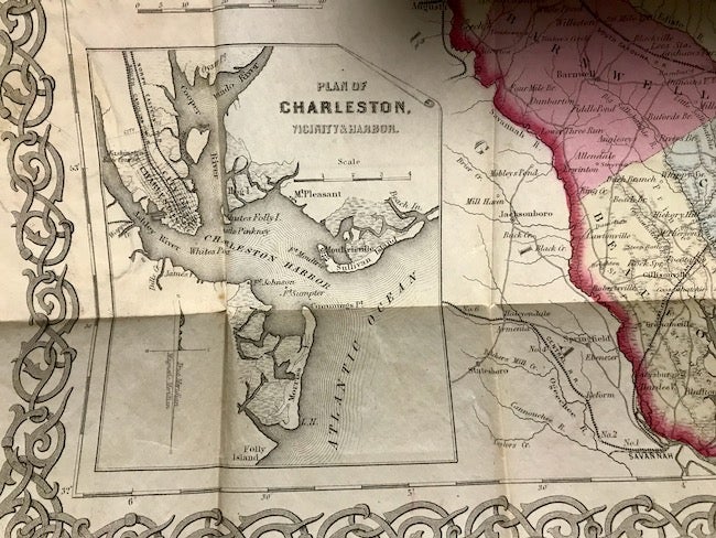
Later printing. Map. 16mo. Green cloth hardcover with blind embossed decorations on the boards and gilt title on the front cover. Some fading to the green cloth. A list of "Maps, Atlases, Guides, Books, Etc., Published by J. H. Colton and Co., 172 Williams St., New York" printed on yellow paper and pasted on the front paste down. Some chipping to the yellow paper in the gutter. The color folding map measures approx. 16" x 14" and is in very good condition. This map was first published by Colton in 1855. Map includes a plan of Charleston with Fort Sumter located in the harbor. Scarce South Carolina map published on the eve of the Civil War. 1 copy of Colton's 1861 South Carolina located in OCLC (Internet source: A.A.S. Assesion # 898159972). Good. Item #18321
Price: $1,250.00